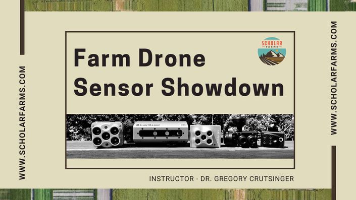
Farm Drone Sensor Showdown
A Quick Start Guide to Multispectral Camera Options For The Commercial UAV Market
Get started now!
What is this class all about? This course provides a quick start to the different multispectral sensors in the commercial drone market for vegetation mapping. It is meant to get you up to speed on the different combinations of cameras, processing software, and pricing for using UAVs for agriculture, ecology, forestry and more...It was built by professionals in the industry and will provide valuable insight when choosing the right sensor for your mapping needs.
Your Instructor
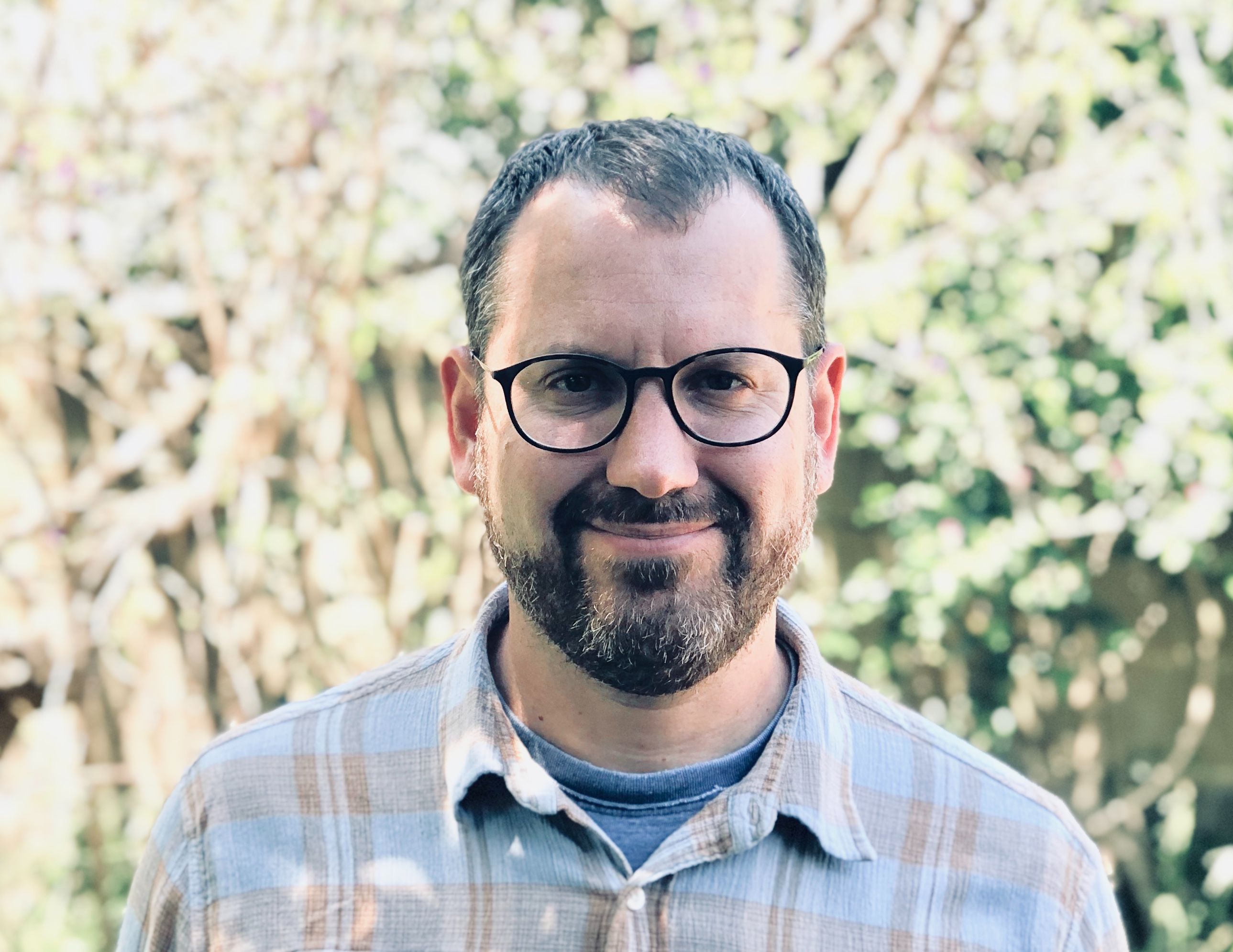
Dr. Greg Crutsinger is the founder of Scholar Farms, which specializes in using drone training for aerial mapping. He has acted as the emergency drone data lead for three major wildfires in California. His company was founded from extensive experience in academic research and teaching, as well as the commercial drone industry. Prior to Scholar Farms Greg was the Sales Director for the scientific and academic verticals at Pix4D and Parrot, and the Academic Programs Director at 3D Robotics. While serving academia, Greg was an Assistant Professor of Ecology at the University of British Columbia.
Get started now!

"For over two years, I've been working alongside Greg in his agriculture trainings for growers and drone service providers in California's Central Valley. Greg is the best in the business when it comes to plant mapping and explaining the technology to people at all different levels."
- Mike Bonillas, Precision Agriculture Drone Services

I continue to be impressed by the professional quality of the Scholar Farms master courses. Dr. Crutsinger is a leading expert in the UAS industry and he does a great job explaining complex topics in relatable and engaging ways. It was an obvious choice to include the Phytomappers Class as a resource for students in Sinclair’s data analytics curriculum.
- Andrew Shepherd, PhD, Executive Director and Chief Scientist, Sinclair College National UAS Training and Certification Cente

"Greg has an extremely deep understanding of not just the technology that enables aerial data, but the practical workflows you need to get real world applicable results. He's a true master of drone mapping."
- Colin Guinn, Founder and CEO of Guinn Partners

"When it comes to coordinating drone data, Greg has an incredible ability to help organize, capture, and condense aerial information quickly and efficiently. More people in the commercial drone industry need the kind of data skills."
- Andrew Maximow, Chief Drone Officer Firmatek